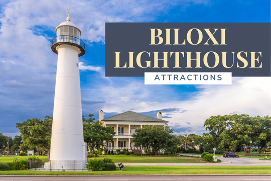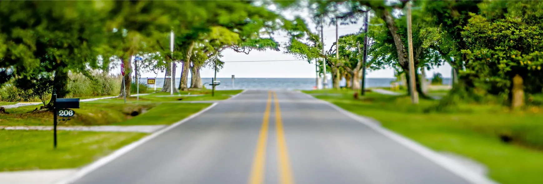


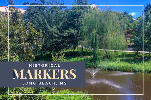

There are over a dozen historical markers in Long Beach, Mississippi. These markers provide a fascinating insight into the area. As you walk, take the time to read each marker. You'll learn about early settlers, landmarks, important events, and historic churches.
Enjoy a self-guided historical markers tour in Mississippi. Start by making a friendship pact under the Friendship Oak, and then learn about the Landers family. Along the way, you'll learn about the devastating effects of Hurricane Katrina and the recovery from that dreadful storm. Finally, you'll learn about the impact farming had on the town of Long Beach and the surrounding communities.

Start on East Beach Boulevard, near the University of Southern Mississippi Gulf Park. The Early Long Beach sign discusses the humble beginnings of the town of Long Beach. It describes how Nicolas and Marianne Lander settled in this area in 1788. The Landers built a longhouse which was known as "The Chimneys." This house became a landmark for boats navigating from Mobile to New Orleans. When Nicolas died, the Spanish gave the land to Marianne. The Widow Ladner claim is now Long Beach.
Find this marker on the University of Southern Mississippi Gulf Park campus. It describes Bear Point Bayou. A natural spring feeds the bayou. Waters flow south through Long Beach and into the Mississippi Sound. The name Bear Point first appeared on a British map of the area made in 1774. The Landers first settled the area in 1788.

You'll find the following historical marker on East Beach Boulevard, which describes the famous Friendship Oak. This sign is unusual in that the tree tells its own story in a first-person narrative.
The marker describes how the Friendship Oak was a sapling when Columbus discovered the New World. You see, the Friendship Oak is over 500 years old. Friendship Oak has seen the entire history of the New World and now shelters students, locals, and tourists.
According to tradition, all those who enter the Friendship Oak's shadow together will remain friends their entire lives. Stairs and a platform allow visitors to share friendship without damaging or disturbing this impressive and historical tree.

On Jeff Davis Avenue, you'll find the Hurricane Katrina marker. Hurricane Katrina hit this area on August 29, 2005, as a Category 3 storm. A 28-foot storm surge inundated Long Beach, destroying hundreds of businesses and homes. Six lives were lost.
Some neighborhoods leveled. This historic and devastating hurricane damaged almost 5,000 buildings. But, as soon as the danger passed, neighbors went to work, helping neighbors recover.
Walk North on Klondyke Road, where the Truck Farming marker discusses transportation developments in the Long Beach area and how they affected local farms. In the 1880s, the railroad came to Long Beach.
In 1884, farms began shipping green beans to markets further north. This shipping started the truck farming movement. Over the next 25 years, 70 different farms raised fruits, vegetables, and the famous Long Beach Long Reds radishes and shipped them by rail. These farms ranged from tiny one-acre fields to 125-acre mega-farms.
However, competition from Florida and Texas caused a decline for Long Beach truck farming, and the Great Depression pushed truck farming in Long Beach into history.
As you wander and enjoy the area's history, don't forget about dinner tonight! Pizza is a great way to satisfy the whole family. Check out the best pizza in Gulfport, MS, and enjoy!